After cycling, my favorite outdoor activity is kayaking. I don't kayak as much as I'd like, and so I'm glad when I do get out on the water. The Georgia River Network hosts a number of paddling events during the year. These weren't on my radar screen until I received an e-mail that mentioned a new type of event for pandemic times, the Pedal-Paddle. Instead of taking a shuttle with a bunch of other people, you ride your bicycle from the outtake to the put-in. I checked the 2021 Pedal-Paddle schedule and selected the one on the Ocmulgee River Saturday a week ago. I loved it. I knew I would.
Robert kindly let me use his 4Runner and even hooked up the trailer for me. One reason we got the trailer was to make it easier to carry out kayaks (rather than muscling them into the rack on top of the truck). I carried my cyclocross bike in the back of the 4Runner. I opted for it instead of my road bike because the last part of the pedal portion of the pedal-paddle was to be on a dirt road.
I drove to the put-in, about eight miles north of Abbeville. Joe Cook coordinates the Georgia River Network events. He had provided directions to the launch site, Ochise Landing, noting that it is close to another launch site and not to go to the other one. Because he provided GPS coordinates to the correct site, I used those to navigate. That worked great. However, right before the final turn onto the dirt road, a bridge was out! Fortunately, Joe had provided his cell phone number, and so I called him and found out the new launch site, which was the other site that he had originally told us not to go to (the Dodge County public boat ramp). He and the other volunteers hadn't discovered that the bridge that was out until the night before. I guess I didn't get the group text about the changed location. No worries, though. I made it to the Dodge County public boat ramp in plenty of time.
Pedaling
After dropping off my kayak, I drove to Half Moon Landing in Abbeville, our takeout.

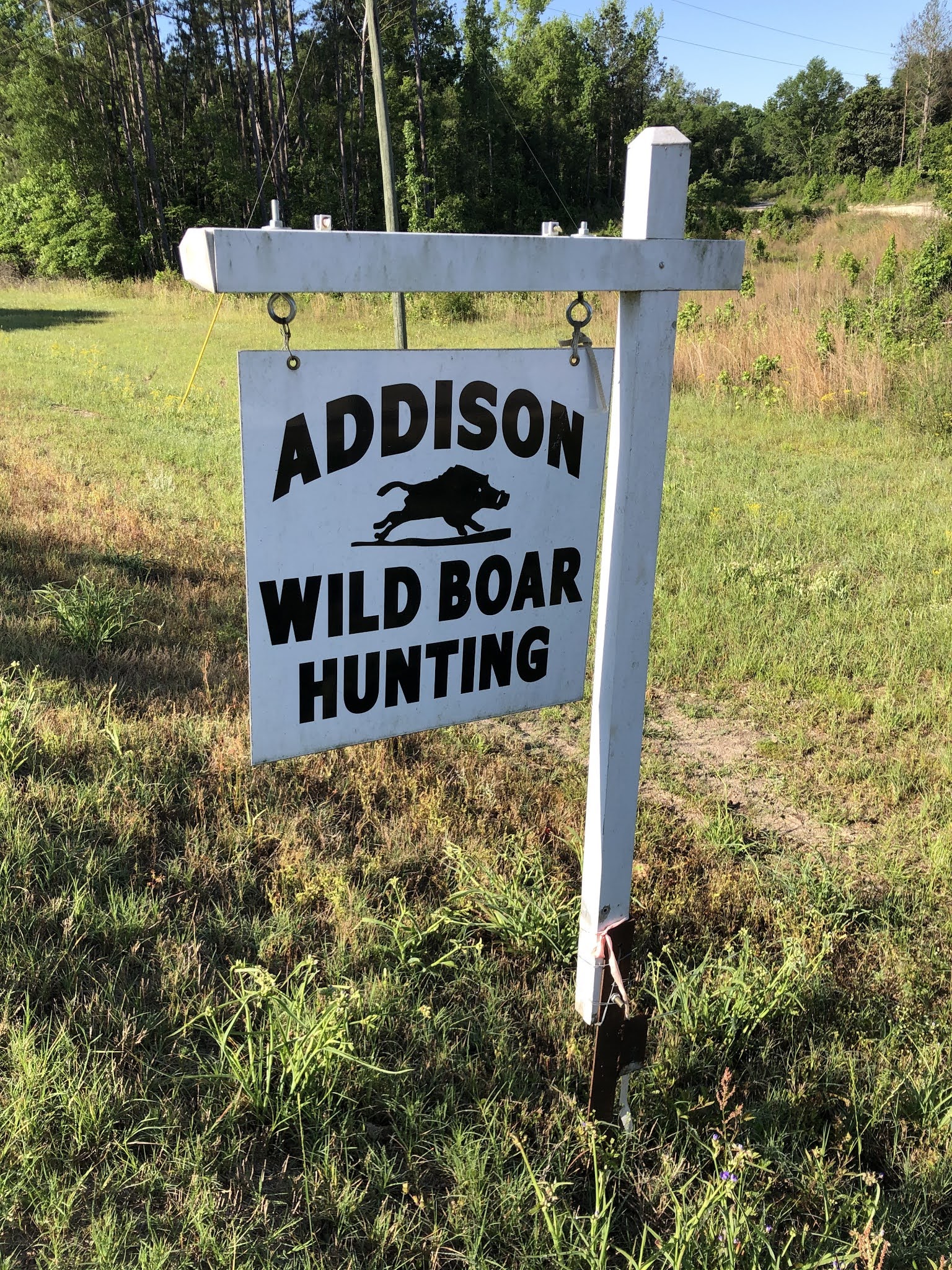
From there, I rode my bicycle to the put-in, about 11 miles away. Along the way I passed this local wild boar hunting company.
That was supposed to be the day of the Abbeville Wild Hog Festival, but because of the pandemic they postponed it until the fall. I was sad to miss it.
I was one of the first people to arrive at the launch site.

It wasn't hard to stay entertained while I waited.
 |
| Several roosters were running around. |
I noticed a sign on the light pole next to the boat launch. The fisherman who happened to be standing there gives perspective to the flood height on 7/10/94. Although I was still in Atlanta during the Great Flood of 1994, I certainly remember how it affected Middle and South Georgia.


One of the volunteers said he was going to walk to the end of the road to cheer on people as they arrived. That sounded like fun, and so I followed suit. We were on River Road. I was amused by this appropriately named family who lives here:

I wonder if they know about the Bass Pro Shop on Bass Road in Macon. (The road was already there when Bass Pro Shop moved in.)
As I continued walking along the road, I passed a field of cows. They came running toward me.

I'm sure they thought I was going to give them something to eat. Alas, I didn't have any food, but I got to pet a couple on the nose.
As everyone arrived, volunteers loaded our bicycles onto a trailer for transport back to the takeout. That's my Cannondale on the outside.

Paddling
Joe gave a brief overview of our paddling journey. He also introduced two young women from the Adopt-A-Stream program with the Georgia Environmental Protection Division. Adopt-A-Stream is a citizen outreach program to educate and involve the public in protecting our waters. These young women collected water samples throughout the day to measure pH, dissolved oxygen, macroinvertebrates, and other parameters of stream quality. Finally, we got into the water!

The Dodge County public boat ramp is on a partial oxbow lake. When the river is lower, this site is disconnected from the main Ocmulgee River channel. That's why the original plan was to launch from the newer Ochise Landing. Fortunately, we had enough flow that day to paddle from here.

Joe had us go upstream instead of downstream because the brush is heavier on the downstream end of the oxbow. It was about a half-mile paddle upstream to get to the cut through, i.e., the main river channel. I really hadn't given much thought to the effort of paddling upstream, but after we turned downstream, it definitely was easier.
 |
| Approaching the cut through |
I thoroughly enjoyed being on the water. Every time I paddle, I wonder why I don't do it more often. And how great to get to explore a portion of the Ocmulgee River I hadn't been on before!

Georgia Geography
While we paddled, I chatted with Joe about Georgia geography. Here's a fun trivia question he asked me: If you travel on I-16 from Macon to Savannah, you cross five major rivers. What are they? Hint: They form the acronym COOOO (not in that order geographically).
Answer: (geographically from west to east): Ocmulgee, Oconee, Ohoopee, Canoochee, and Ogeechee
He also said that there are 31 counties in Georgia that aren't named for dead white guys. Based on my post-paddle Interwebs research, I could only find 13 that aren't named for dead white guys (maybe Joe had his digits reversed). I think I thought of most, if not all, of them while I was paddling: Catoosa, Chattahoochee, Chattooga, Cherokee, Coweta, Hart, Liberty, Muscogee, Oconee, Peach, Rockdale, Seminole, and Union. As you can see, most of these counties have Native American names. Only one Georgia county is named for a woman: Hart for Nancy Hart, a heroine from the American Revolution. By the way, Georgia has 159 counties total, more than any state but Texas. It also has more Native American place names than any other state.
One more Georgia geography tidbit that I've been thinking about: many Georgia cities and counties have the same name but are in different geographical locations. For example, we've gotten phone calls about cheap land in Jasper. Yes, land costs less here in Jasper County, located in Middle Georgia, than in the City of Jasper, located in the mountains of North Georgia. I couldn't find a list of noncorresponding Georgia cities/towns and counties, and so I compiled my own. The index of the Georgia DOT road map was a great resource for finding some tiny, unincorporated towns to include. (Note that I included only names that are exactly the same. There are even more examples if you include names like Waynesboro, which is not in Wayne County.)
- Appling
- Baldwin
- Bartow
- Brantley
- Brooks
- Butts
- Calhoun
- Candler
- Cobb
- Colquitt
- Clayton
- Crawford (and to confuse things, there's also a Crawfordville, which is in Taliaferro County, which is pronounced "Tolliver")
- Dawson
- Decatur
- Douglas
- Evans
- Forsyth
- Franklin
- Gordon
- Haralson
- Jackson
- Jasper
- Jefferson
- Jones
- Lanier
- Lumpkin
- Macon
- Madison
- McIntosh
- Mitchell
- Monroe
- Morgan
- Newton
- Oconee
- Oglethorpe
- Pulaski
- Putnam
- Quitman
- Screven
- Stephens
- Towns
- Union
- Washington
- White
- Worth


 |
| Photo credit: Joe Cook |


 |
| View of the main Ocmulgee channel from the slough where we stopped for lunch |

 |
| I see you! Photo credit: Joe Cook |


 |
| Cypress knees |
 |
| My knees (and helmet in the bottom of my kayak) |
 |
| Photo credit: Joe Cook |

On May 8, 1865, Confederate President Jefferson Davis, his family, and a small entourage crossed the Ocmulgee here on what was then known as Brown's Ferry. Davis, having been forced from the Confederacy's Richmond capital a month earlier, hoped to make it to the west and rally the remains of the Confederate Army there. Meanwhile, the Union Army, believing that he was complicit in the April 15 assassination of President Lincoln, was in hot pursuit. And, soldiers were especially interested in the $100,000 bounty for his capture. On the morning of May 10, Davis was captured about 26 miles southwest of Abbeville. Even surrounded, Davis attempted to flee under the cover of his wife's overcoat but was quickly apprehended. His capture in a woman's clothes was exploited with much hyperbole as northern newspapers depicted the incident with Jefferson in a wig and hoop skirt. The dramatic capture led to a popular song of the era, "Jeff in Petticoats," with the lyrics: "Just on the outskirts of a wood, his dainty shape was seen. His boots stuck out, and now they'll hang old Jeff in crinoline!" Davis was never executed. He spent more than two years in jail and became a symbol of Southern nationalism during Reconstruction.
 |
| Photo credit: Joe Cook |
I watched it for a bit, but I missed the most exciting part. Someone else said it dove into the water and came back up with a fish in its mouth!
No comments:
Post a Comment